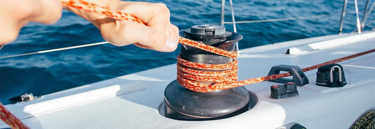
What types of marine knots exist?
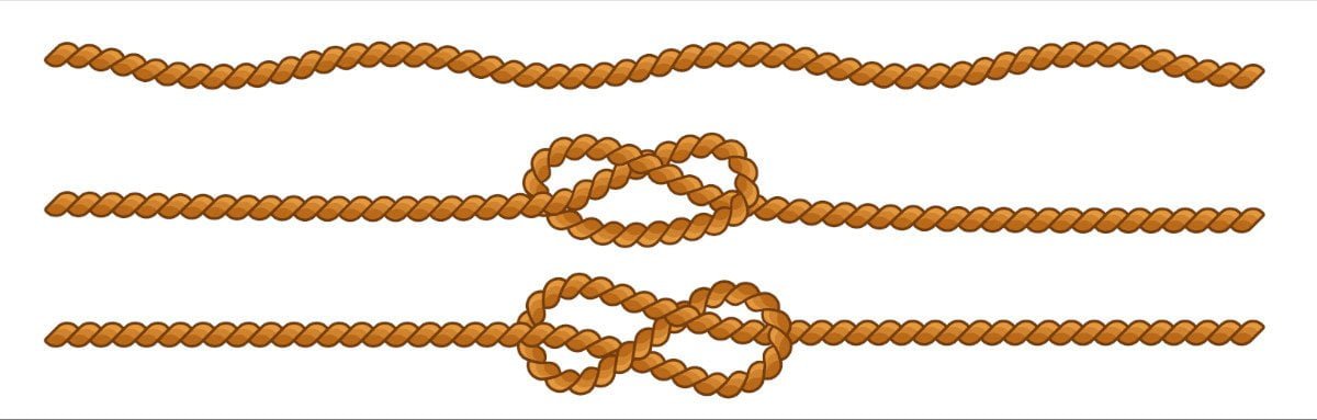
Tying sailor's knots correctly is a very important skill, although not everyone masters them easily. Do you know how to tie the most important knots? Tying a strong knot that is quick to tie, durable and easy to undo is a basic skill for any self-respecting sailor. Test your knowledge in … Read more